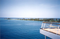
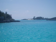
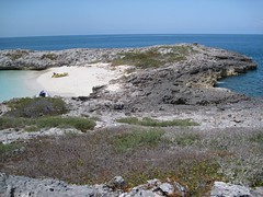
Google Earth 3d view/aerial satellite map view/hybrid satellite maps/road map of Bahamas follows The Bahamas is a nation consisting of 29 islands, 661 cays, and 2,387 islets (rocks), is located in the Atlantic Ocean north of Cuba, southeast of the United States (nearest to the state of Florida). Its area is 13,939 km2 (5,382 sq mi),population of 353,658, capital is Nassau, one of the richest country in terms of GDP. Images of Bahamas Administrative map of Bahamas Island Location of Bahamas in World map |
|||