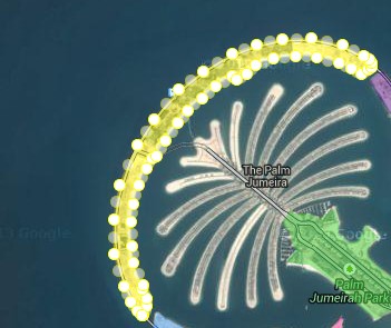
google satellite map


|||||

Google Satellite map of Mount Rinjani, Indonesia with 3d Earth View

Mount Rinjani or Gunung Rinjani on the island of Lombok West Nusa Tenggara (NTB)is an active volcano in Indonesia. It has high height of 3,726 metres (12,224 ft),being the second highest volcano in Indonesia.
Its 6 km long 8.5 km width oval-shaped caldera containing hot springs is filled partially by 200 meter depth crater lake known as Segara Anak ('Child of the Sea'). This lake is approximately 2000 metres above sea level.
Google Earth 3d view/ satellite map view/hybrid satellite maps/road map of Mount Rinjani.

Google Satellite map of Jawa Barat (West Jawa, Jabar)

Google Earth 3d view/aerial satellite map view/hybrid /road map of West Java(sudanese:Kulon,also called Jabar), Indonesia

Google Earth Singapore Satellite maps

Singapore Google Earth 3d map/google satellite map/hybrid map/satellite map view

Lombok Indonesia, Google satellite map view

Google satellite map view of Lombok island in indonesia

Sulawesi Indonesia Google Satellite maps

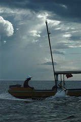
An image of fishing near sulawesi island, indonesia
fishing near sulawesi indonesia image

A fisherman

Google satellite map, Ngurah Rai International Airport, Indonesia

Ngurah rai international airport satellite map
[gmap zoom=14 |center=-8.7442208,115.1675052 |width=400px |height=400px |control=Small |type=Hybrid]

Google Satellite Map Gadgets live preview

Google Satellite Map of Dead Sea

man reading news paper in dead sea

Syndicate content