sumatra |
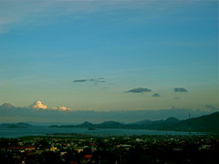
Lake Maninjau in Indonesian language called Danau Maninjau, means overlook or observation is a caldera crater formed lake in West Sumatra, Indonesia. It is 16 km near to the city of Bukittinggi in Sumatra. It is estimated to have formed 50000 years ago and has 20x8 km length and width.People who live are mostly ethnic Minangkabau.Lake Maninjau is used for hydro electric power generation and has aquaculture farm production. Lake Maninjau is big tourist attraction in the region because of its splendid scenic beauty. Sport activities like trekking paragliding attracts adventurists too. Google Earth 3d view/ satellite map view/hybrid satellite maps/road map of Lake Maninjau. |
|||
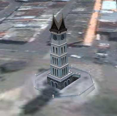
jam gadang big clock tower in Bukittinggi, as shown in google earth Bukittinggi means in Indonesian language "high hill" is one of the larger cities in West Sumatra, Indonesia, which is 90 km by road distance from the West Sumatran capital city of Padang. It is having a population of over 91,000 people and an area of 25.24 km². It is a city popular with tourists due to the climate and easy accessibility. Attractions within and around the city follows: Nearby Tourist attractions include Lake Maninjau and the Harau Valley. Google Earth 3d view/ satellite map view/hybrid satellite maps/road map of Bukittinggi, Indonesia |
|||
Lampung is a province of Indonesia, located on the southern tip of the island of Sumatra. which borders with provinces of Bengkulu and South Sumatra. Lampung name come from the "Lampung" tribe, who speak a distinct language from other people in Sumatra and have their own alphabet. A large portion of the current population of Lampung is descended from migrants from Java, Madura, and Bali. Lampung is often heard for its earthquakes and volcanoes. On May 10 2005, a strong earthquake measuring 6.4 on the richter scale struck the province. The historical volcano blast of Krakatau occurred in 1883, which resulted in disastrous consequences.
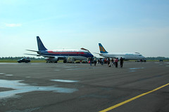
TGK Air Port Lampung |
|||
[gmap zoom=8 |center=-0.589724,101.3431058 |width=400px |height=400px |control=Small |type=Hybrid] |
|||


